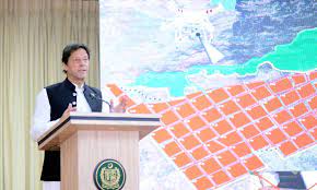
Work on digitisation of land records under way

ISLAMABAD:
The colonial-era obsolete patwari system of land records was not only incompatible with the fast-changing digital world but was full of flaws, shortcomings, and corrupt practices.
This conventional system of land records has also made property purchase, transfer, and tax collection a complicated process as it lacked the modern-day technological tools for accurate mapping, demarcation, and devolution of property. Similarly, the changing nature of land ownership from agricultural to residential and commercial and rural to urban areas has not only become a challenge for the authorities concerned but also for the public at large.
The government has started work on the digitalization of land records by launching the 'Cadastral Mapping Project' for transforming the old patwari system into a modern computerized online system. This project would prove instrumental for Inland revenue generation, easy accessibility of property rights, tenure information, lesser land litigation cases, improved taxation and collection mechanism, land conflict resolution, and reduction of corrupt practices.
It is also helpful in verification, construction, transfer of properties, field surveys for delimitation, geo-tagging, and digitization of the properties. Moreover, this project will enable the government of Pakistan to retrieve encroached land. Under the new project, the Evacuee Trust Property Board (ETPB) property will be computerized.
The project of the ETPB has been assigned to the Survey of Pakistan which would be completed within one year at a cost of Rs28 million. According to official sources, the Survey of Pakistan has completed 93 percent of the tasks of field surveys, geo-tagging, and digitization of the properties under the project. It has completed the digitalization of Islamabad Capital Territory by using a Geographic Information System.
Business cards

our sponsors

